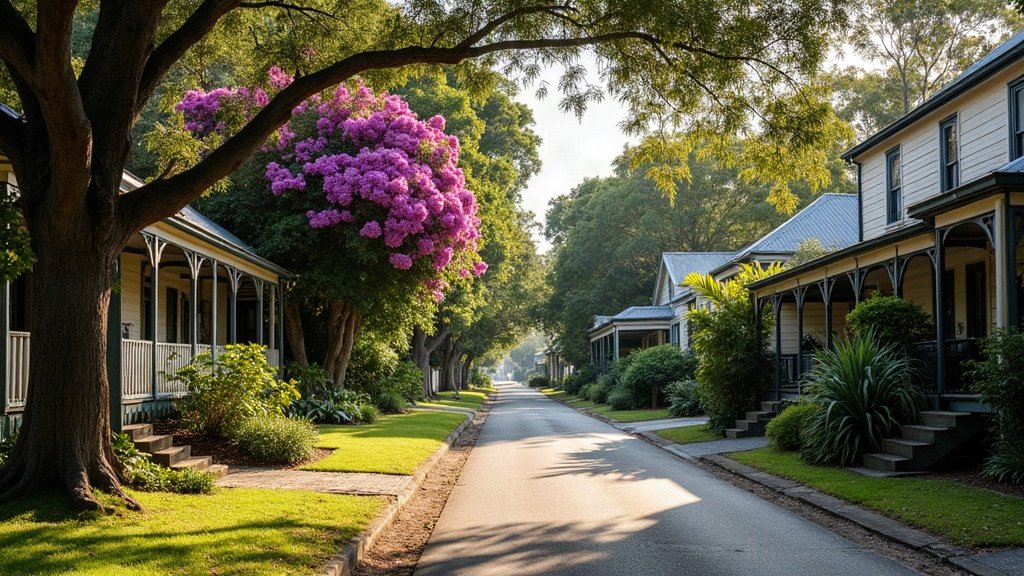
Brisbane City Council covers the city centre and a wide spread of suburbs, with the Brisbane River running through it. It is Australia’s largest local government by population, with 1,375,301 people across 1,342.7 square kilometres (ABS preliminary estimate at 30 June 2025, from Regional population 2024-25, released 31 March 2026).
| At a glance | Brisbane City |
|---|---|
| Council and website | Brisbane City Council, brisbane.qld.gov.au |
| Population | 1,375,301 (ABS preliminary estimate, 30 June 2025) |
| Area | 1,342.7 km² |
| Main centres | City Centre, Fortitude Valley, Spring Hill, Kurilpa, Chermside and Upper Mount Gravatt (the council’s principal centres) |
| Hospital and Health Service | Metro North Health north of the river, Metro South Health on the southside |
Rates, bins and council services in Brisbane City
The council is made up of 26 wards and 27 councillors. You can manage your property rates online, and the report an issue page covers bins, roads, footpaths, trees, dumping, graffiti and drains. You can also phone 07 3403 8888.
General waste, green waste and recycling bins are collected at different times of the week, and your bins need to be out by 5.30am on collection day. Green bins are collected every fortnight, alternating with the yellow lid recycling bin. Green waste is now a standard kerbside service for eligible properties: houses should have had a green bin by December 2025, and units can apply for one. A second green bin costs $12.82 per quarter.
There are 33 council libraries across Brisbane. Membership is free to Brisbane ratepayers and to anyone who lives, works or studies in Brisbane.
Hospitals and health care in Brisbane City
Public hospitals in Brisbane City are run by two Hospital and Health Services. Metro North Health serves a population approaching 900,000, from north of the Brisbane River to north of Kilcoy. Its hospitals in Brisbane City are the Royal Brisbane and Women’s Hospital and STARS, both at Herston, and The Prince Charles Hospital at Chermside.
Metro South Health serves more than 1.2 million people in the Brisbane southside, Logan, Redlands and Scenic Rim regions. Its Brisbane City hospitals are the Princess Alexandra Hospital at Woolloongabba and the QEII Jubilee Hospital at Coopers Plains. For children, the Queensland Children’s Hospital at South Brisbane is run by Children’s Health Queensland.
Schools, TAFE and universities in Brisbane City
For state schools, look up the catchment for an address on EdMap, which the Queensland Government links from its school catchment page. The Queensland schools directory lists individual schools.
The University of Queensland has three Brisbane-based campuses at St Lucia, Herston and Dutton Park. QUT is at Gardens Point in the city centre and at Kelvin Grove. Griffith University has its Brisbane South campus at Nathan and its new Treasury Building campus in the CBD is due to open in 2027. Australian Catholic University’s McAuley campus is at Banyo, and TAFE Queensland has its South Bank campus in South Brisbane.
Getting around Brisbane City
Translink fares are a flat 50 cents on all Translink services. The Queensland Government made 50 cent fares permanent from 10 February 2025. Airtrain is excluded: it charges its own fares.
Train lines through the city include Ferny Grove, Beenleigh, Caboolture and Sunshine Coast, Ipswich and Rosewood, Redcliffe Peninsula, Springfield, Shorncliffe, Cleveland, Airport, Gold Coast and Doomben, according to the Queensland Rail network map. Brisbane Metro launched in 2025 with two routes: M1 from Eight Mile Plains to Roma Street, and M2 from UQ Lakes to the Royal Brisbane and Women’s Hospital.
On the river, the ferry network has 24 CityCats and 5 KittyCats, with 22 terminals from UQ St Lucia to Northshore Hamilton. Cross River Rail is a 10.2 km line with new underground stations, and its services are expected to start by 2029.
If you drive, the toll roads include the Gateway and Logan motorways, AirportlinkM7, CLEM7, the Go Between Bridge and Legacy Way, all operated by Transurban Queensland.
What living in Brisbane City is like
Brisbane has been one big council for a century. The council says 20 local authorities and joint boards merged on 1 October 1925 to form the greater Brisbane Council. Today that one council covers the city centre and suburbs as far apart as Bracken Ridge, Wynnum and Carindale.
The ABS estimates it grew 1.6% in the year to 30 June 2025, and it has about three times the population of the largest council in Sydney or Melbourne. At the 2021 Census, the median age was 36.
The Brisbane River runs through the city, and flooding is a real consideration. Check the flood map before you buy or rent. Start with the council’s Flood Awareness Map, then get a FloodWise Property Report, which shows the risk and type of flooding at a property and can include levels from the January 2011 and February 2022 floods.
Our guide to what it costs to move to Brisbane helps with the budget, and our Brisbane trades directory helps when you need a plumber or electrician.
Useful Brisbane City links
- Flood Awareness Map: check flooding for an address before you buy or rent.
- Bin collections: find out when your bins are collected.
- Rates: manage and pay your property rates.
- Library locations: find your nearest of the 33 council libraries.
- Report an issue: tell the council about bins, roads, footpaths, trees or drains.
Sources
- Australian Bureau of Statistics: Regional population 2024-25 data tables, released 31 March 2026, and the 2021 Census QuickStats.
- Brisbane City Council: green waste service and CityCats and ferries.
- Metro North Health and Metro South Health: Metro North hospitals and Metro South hospitals.
- Translink and Queensland Government: tickets and fares and the 50 cent fares statement, 10 February 2025.
Facts on this page were checked on 16 October 2026.