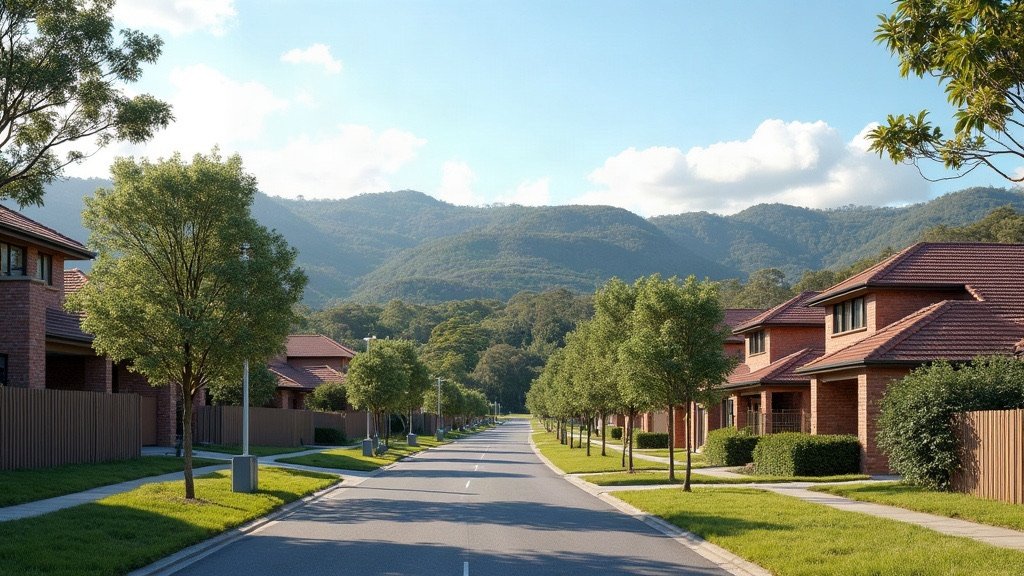
Logan is a city of 69 suburbs run by Logan City Council, covering 958.1 km² with an estimated 403,515 residents. Council says 70% of the city is rural, semi-rural or conservation land, so large parts of Logan are not suburban at all.
Logan at a glance
| Topic | Logan |
|---|---|
| Council | Logan City Council (logan.qld.gov.au) |
| Population | 403,515 (ABS preliminary estimate, 30 June 2025) |
| Area | 958.1 km² |
| Main centres | Logan Central, Springwood, Beenleigh, Browns Plains, Jimboomba |
| Hospital and Health Service | Metro South Health |
The population figure is the ABS preliminary estimate at 30 June 2025, from Regional population 2024-25, released 31 March 2026. It is up from a revised 391,566 a year earlier, which is growth of 3.1%. If you are still comparing areas, start with our council areas overview.
Rates, bins and council services in Logan
Logan rates are billed quarterly. Council’s proposed 2026/2027 schedule has notices going out on 21 July 2026, 16 October 2026, 18 January 2027 and 16 April 2027, and the full details are on the Logan rates page.
General waste is collected every week and recycling every fortnight. You can look up your collection day on MyLogan through the bin collection day page.
If you want a green waste bin, the property owner or agent has to order it, because tenants can no longer order one themselves. It is collected fortnightly and charged on the rates. Council lists $98 a year for a 140 L bin, $103 for 240 L and $150 for 360 L, but the page does not state a financial year, so confirm the price when you order.
To report a problem, use council’s online services, which council sums up as “Report it, pay it, apply for it”.
Logan has nine library branches: Beenleigh, Greenbank, Jimboomba, Logan Central, Logan Hyperdome, Logan North, Logan Village, Logan West and Marsden. A library card is free if you live in Logan or a neighbouring council area, or if you work or study in Logan.
Hospitals and health care in Logan
Public hospitals in Logan are run by Metro South Health, which serves more than 1.2 million people across Brisbane southside, Logan, Redlands and Scenic Rim.
Logan Hospital is on the corner of Loganlea Road and Armstrong Road in Meadowbrook and is open 24 hours. Its services include emergency, maternity, paediatrics and orthopaedics. Metro South says the new and upgraded services from the hospital’s expansion will be complete by late 2026.
Schools, TAFE and universities in Logan
For state schools, start with EdMap, which the Queensland Government’s school catchment page links to. The government also keeps a schools directory.
TAFE Queensland’s Loganlea campus is on Armstrong Road, Meadowbrook, about 15 minutes’ walk from Loganlea station.
Griffith University’s Logan campus is also in Meadowbrook. It has just over 2,000 students and offers degrees in education, human services, midwifery, nursing and social work.
Getting around Logan
Beenleigh line trains stop at Logan stations including Woodridge, Kingston, Loganlea, Bethania, Edens Landing, Holmview and Beenleigh, and Gold Coast line trains stop at Loganlea and Beenleigh, according to the Queensland Rail network map.
The Logan and Gold Coast Faster Rail project will expand the 20 km corridor between Kuraby and Beenleigh to four tracks, with a total investment of $5.75 billion. A Salisbury to Beaudesert passenger rail line is still at the planning stage, and governments are considering the steps toward corridor protection.
The South East Busway has been extended from Eight Mile Plains to Springwood, with a new bus station at Rochedale, as part of the Pacific Motorway upgrade. Fares are a flat 50 cents on all Translink services, with Airtrain excluded, and the 50 cent fare became permanent from 10 February 2025.
For driving, council lists the Pacific Highway (M1), Logan Motorway and Mount Lindesay Highway among the state-controlled roads in Logan. The Logan Motorway is a toll road, and Transurban is responsible for it. The Department of Transport and Main Roads says the Mount Lindesay Highway carries between 25,000 and 58,000 vehicles a day on sections between Browns Plains and Jimboomba.
What living in Logan is like
Logan is growing, with the ABS estimate showing 3.1% growth in the year to 30 June 2025.
Yarrabilba, 20 km south of Logan Central, is a state Priority Development Area planned for up to 20,000 dwellings and 50,000 people over 20 to 30 years. In 2019 the state government described Flagstone and Yarrabilba as part of “Queensland’s fastest growing population corridor”.
At the 2021 Census, Logan’s median age was 34. Of its residents, 65.7% were born in Australia and 7.1% in New Zealand.
Check the flood map before you buy or rent. Council’s Logan Flood Portal has flood maps and Property Flood Reports, and council’s flood maps page says council expects changes to take effect in early 2027, subject to state approval.
Once you have picked a suburb, our Brisbane trades directory can help with the jobs that come with a new home, and our guide to what it costs to move to Brisbane covers the budget side.
Useful Logan links
- Logan City Council: the main council website.
- Rates: the quarterly rates notice schedule.
- Bins and waste collection: collection days and ordering bins.
- Logan Flood Portal: flood maps and Property Flood Reports.
- Logan Libraries: how to get a free library card.
- Translink fares: tickets and the 50 cent fare.
- EdMap: the school map linked from the Queensland Government’s catchment page.
Sources
- ABS, Regional population 2024-25: population and area data, released 31 March 2026.
- ABS 2021 Census QuickStats: Logan local government area.
- Logan City Council: statistics and facts, rates, bins and flood maps.
- Metro South Health: Logan Hospital.
- Department of Transport and Main Roads: Logan and Gold Coast Faster Rail.
- Translink: tickets and fares.
- Economic Development Queensland: Yarrabilba.
Facts on this page were checked on 16 October 2026.