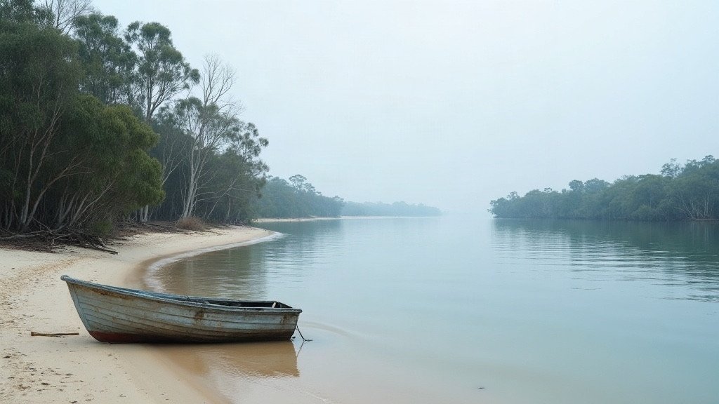
The City of Moreton Bay is Greater Brisbane’s northern council area, running from Bribie Island beach suburbs such as Woorim to range country such as Mount Glorious and Dayboro. It had 532,445 people across 2,041.5 square kilometres, making it the third largest local government area in Australia by population (ABS preliminary estimate at 30 June 2025, from Regional population 2024-25, released 31 March 2026).
| At a glance | City of Moreton Bay |
|---|---|
| Council and website | City of Moreton Bay, moretonbay.qld.gov.au |
| Population | 532,445 (ABS preliminary estimate, 30 June 2025), up 2.1% from 521,494 a year earlier |
| Area | 2,041.5 km² |
| Main centres | Caboolture, Redcliffe, North Lakes, Petrie and Strathpine (named on the council’s Your local area page) |
| Hospital and Health Service | Metro North Health |
Rates, bins and council services in Moreton Bay
Moreton Bay has 12 divisions, each with one councillor, plus a mayor elected by all residents. Customer service centres are at Caboolture, Redcliffe and Strathpine. You can pay your rates by BPAY, by phone, in person or by direct debit.
Within the defined waste collection area, general waste is collected weekly, and recycling and organic waste are collected fortnightly. Free-standing houses on lots of 300 to 2,000 square metres receive a garden organics (GO) bin automatically. Duplexes, townhouses and body corporate properties need to apply. Only the owner or agent can apply, so if you rent, ask your property manager.
To report a problem, use the council’s online request form or the Snap Send Solve app, or phone the council on (07) 3205 0555 or 1300 477 161.
The council runs 10 library branches at Albany Creek, Arana Hills, Bribie Island, Burpengary, Caboolture, Deception Bay, North Lakes, Redcliffe, Strathpine and Woodford, plus a mobile library. Library membership is free and lasts two years.
Hospitals and health care in Moreton Bay
Public hospitals in Moreton Bay are run by Metro North Health, which covers the area from north of the Brisbane River to north of Kilcoy. Its hospitals in the area are Redcliffe Hospital on Anzac Avenue in Redcliffe and Caboolture Hospital at 87-129 McKean Street, Caboolture.
Metro North also lists satellite hospitals at Caboolture, Kallangur and Bribie Island. The Prince Charles Hospital at Chermside is run by Metro North too, but it sits in the Brisbane City council area rather than in Moreton Bay.
Schools, TAFE and universities in Moreton Bay
For state schools, look up the catchment for an address on EdMap, which the Queensland Government links from its school catchment page. The Queensland schools directory is the place to search for individual schools.
UniSC Moreton Bay is at 1 Moreton Parade, Petrie, next to Petrie train station, and has close to 6,000 students. TAFE Queensland has two campuses in the area. The Caboolture campus on Tallon Street is shared with UniSC, and the Redcliffe campus is at 64-68 Klingner Road.
Getting around Moreton Bay
Three Translink train lines serve Moreton Bay: T1 Caboolture, T1 Nambour / Gympie North and T2 Kippa-Ring. The T1 Caboolture line stops include Elimbah, Caboolture, Morayfield, Burpengary, Narangba, Dakabin and Petrie.
The Redcliffe Peninsula Line opened on 4 October 2016. Today the T2 Kippa-Ring line stops include Kippa-Ring, Rothwell, Mango Hill, Kallangur, Petrie, Lawnton, Bray Park and Strathpine, so both lines stop at Petrie.
Translink fares are a flat 50 cents on all Translink services. The Queensland Government made 50 cent fares permanent from 10 February 2025. Airtrain is excluded: it charges its own fares.
On the roads, the Department of Transport and Main Roads is upgrading the Gateway Motorway and Bruce Highway corridors in north Brisbane and southern Moreton Bay, with early works from mid-October 2026.
What living in Moreton Bay is like
The council formed in 2008 from Pine Rivers Shire, Caboolture Shire and the City of Redcliffe. In 2023 a state regulation changed its classification from region to city, so Moreton Bay Regional Council became Moreton Bay City Council.
The council plans for growth around several town centres rather than one city centre, with protected rural and natural landscapes. Suburbs across its divisions include Bongaree, Banksia Beach and Woorim on Bribie Island, Scarborough, Deception Bay and Kippa-Ring, Kallangur and Murrumba Downs, Albany Creek, Warner and Eatons Hill, and Dayboro and Samford Valley.
The area grew 2.1% in the year to 30 June 2025, according to the ABS. At the 2021 Census, the median age was 39 and 74.7% of residents were born in Australia.
Check the flood map before you buy or rent. The Moreton Bay Flood Viewer maps flooding by address, and the council also offers a Flood Check property report.
Our guide to what it costs to move to Brisbane helps with the budget, and our Brisbane trades directory helps when you need a plumber or electrician.
Useful Moreton Bay links
- City of Moreton Bay: the council’s main website.
- Rates: ways to pay your rates.
- Bin days: find out when your bins are collected.
- Flood mapping: check flooding before you buy or rent.
- Report a problem: the council’s online request form.
- Libraries: branch locations and the mobile library.
Sources
- Australian Bureau of Statistics: Regional population 2024-25 data tables, released 31 March 2026, and the 2021 Census QuickStats.
- City of Moreton Bay: councillors and divisions, garden organics bins, flood mapping and the other council pages linked above.
- Queensland legislation: SL 2023 No. 91.
- Metro North Health: about us, Redcliffe Hospital and Caboolture Hospital.
- Translink and Queensland Government: train timetables, tickets and fares and the 50 cent fares statement, 10 February 2025.
Facts on this page were checked on 16 October 2026.