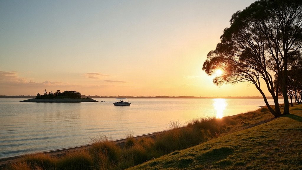
Redland City is the council area run by Redland City Council, covering 537.2 km² of mainland suburbs and islands, including North Stradbroke Island (Minjerribah). It has an estimated 172,831 residents.
Redland at a glance
| Topic | Redland |
|---|---|
| Council | Redland City Council (redland.qld.gov.au) |
| Population | 172,831 (ABS preliminary estimate, 30 June 2025) |
| Area | 537.2 km² |
| Main centres | Cleveland, Capalaba, Victoria Point |
| Hospital and Health Service | Metro South Health |
The population figure is the ABS preliminary estimate at 30 June 2025, from Regional population 2024-25, released 31 March 2026. It is up from a revised 169,940 a year earlier, which is growth of 1.7%. Council’s suburb profiles cover mainland suburbs such as Birkdale, Capalaba, Cleveland, Redland Bay and Victoria Point, and the islands of Coochiemudlo, Karragarra, Lamb, Macleay, Russell and North Stradbroke. To compare Redland with its neighbours, see our council areas overview.
Rates, bins and council services in Redland
You can pay Redland rates online, by BPAY, by telephone, by direct debit, by post or over the counter. Council supplies your water, buying bulk water from Seqwater, so the rates notice includes water costs as well as a waste and recycling charge.
Council’s bin service is a 240 L red-lid general waste bin collected weekly and a 240 L yellow-lid recycling bin collected fortnightly. A green waste bin is optional for mainland residents and is collected on the alternate fortnight. Each green bin costs $75 per year in the 2026-27 financial year, with no establishment fee.
To report a problem, use the “Report an issue” form on council’s homepage or call (07) 3829 8999. Council has service centres at Cleveland, Capalaba and Victoria Point.
There are six Redland libraries, at Cleveland, Capalaba, Victoria Point, Dunwich, Point Lookout and Russell Island, plus a Mobile Library. Membership is free for Queensland residents.
Hospitals and health care in Redland
Public health care in Redland is run by Metro South Health.
Redland Hospital on Weippin Street, Cleveland, is described by Metro South as “the main health centre for Redland City and Brisbane’s southern bayside suburbs”. Its services include surgery, emergency, obstetrics and dialysis, and its expansion is due by 2027.
For minor injuries and illnesses, the Redlands Satellite Health Centre (Talwalpin Milbul) at 22 Meissner Street, Redland Bay, is open 8am to 10pm daily. It is not an emergency department.
On North Stradbroke Island, the Marie Rose Centre at 36 Oxley Parade, Dunwich, is a nurse-led clinic open 9am to 4pm daily. It arranges transfers to mainland emergency departments.
Schools and TAFE in Redland
For state schools, the Queensland Government’s EdMap and the schools directory are the places to start.
TAFE Queensland’s Alexandra Hills campus is on Windemere Road, Alexandra Hills. Its study areas include nursing, construction, automotive, plumbing and business.
Getting around Redland
The T4 Cleveland train line has Redland stations at Thorneside, Birkdale, Wellington Point, Ormiston and Cleveland. Buses leaving Cleveland station include the 250 to Carindale and Redland Bay Marina, the 252 to Capalaba, the 271 to Redland Hospital and Toondah Harbour, and the 274 to Victoria Point Jetty.
Fares are a flat 50 cents on all Translink services, permanent from 10 February 2025, and services outside Translink are excluded.
For the Southern Moreton Bay Islands, SeaLink Bay Islands runs Translink ferries from Redland Bay (Weinam Creek) to Macleay, Lamb, Karragarra and Russell islands about every half hour, and the go card is accepted. Coochiemudlo is a 10 minute trip from Victoria Point on the Amity Trader passenger ferry, which is now part of the Translink network with a 50 cent adult fare, paid by go card or contactless only.
North Stradbroke Island works differently. SeaLink runs vehicle and passenger ferries daily from Cleveland with its own fares, and vehicle fares change with demand. Check with SeaLink whether the go card applies before you travel. Council’s island disaster profile also names Gold Cats/Stradbroke Flyer, which runs from Cleveland (Toondah Harbour) to Dunwich.
On the roads, the Department of Transport and Main Roads lists Mount Cotton Road, Redland Bay Road and the Redland Sub-Arterial Road as state-controlled corridors.
What living in Redland is like
The 2021 Census put Redland’s median age at 43, and the ABS estimate shows 1.7% growth in the year to 30 June 2025. Council’s North Stradbroke Island disaster profile describes the island (Minjerribah) as “the world’s second-largest sand island”, with beaches, bushland, wetlands and lakes, and communities at Dunwich, Amity Point and Point Lookout. The profile also warns that islanders may be isolated when ferries stop.
This is Quandamooka Country. On 4 July 2011 the Federal Court made two native title consent determinations recognising the Quandamooka people’s rights over land and waters.
Check the flood map before you buy or rent. The Redlands Coast Disaster Dashboard has hazard map layers for bushfire, flood and storm tide, and landslide, and council also offers creek flood maps and Red-e-Map.
If you are buying, our Redlands real estate agents shortlist is a good place to start. Once you have the keys, our Brisbane trades directory can help with the jobs that come with a new home, and our guide to what it costs to move to Brisbane covers the budget side.
Useful Redland links
- Rates: understanding and paying your rates.
- Bins, waste and recycling: bin services and green waste bins.
- Redland libraries: branches and free membership.
- Redlands Coast Disaster Dashboard: hazard maps for flood, storm tide, bushfire and landslide.
- EdMap: the Queensland Government school map.
- Translink fares: tickets and the 50 cent fare.
Sources
- ABS, Regional population 2024-25: population and area data, released 31 March 2026.
- ABS 2021 Census QuickStats: Redland local government area.
- Redland City Council: understanding your rates, bins and the North Stradbroke Island disaster profile.
- Metro South Health: Redland Hospital.
- Translink: tickets and fares.
- SeaLink: North Stradbroke Island ferry information.
Facts on this page were checked on 16 October 2026.