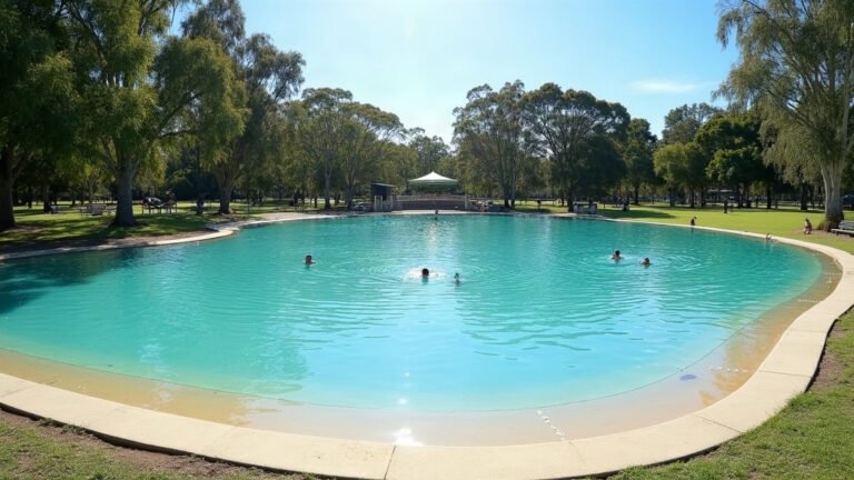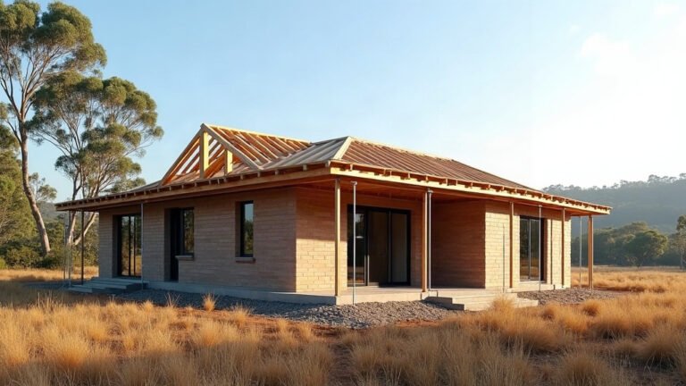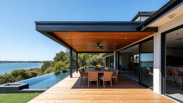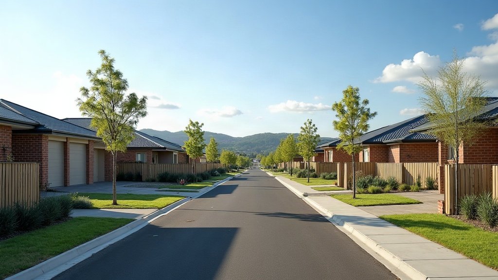
Living in Logan means living in a big, spread out city between Brisbane and the Gold Coast. Logan City Council says the city covers 69 suburbs and 959 square kilometres, and that 70 percent of it is rural, semi-rural or set aside for conservation.
Here is what a newcomer needs to sort out in the first few weeks: who lives here, how the suburbs differ, rates and bins, flood checks and getting around. Every number links to the official page it came from. For council contacts and the other council areas around Brisbane, start with our Logan council area page.
Who lives in Logan?
At the 2021 Census, the Australian Bureau of Statistics counted 345,098 people in the Logan local government area, with a median age of 34. The same page puts the Queensland median at 38, so Logan skews younger than the state as a whole.
The same Census page gives a few figures that help with planning a move:
- Households: the average household had 2.9 people.
- Cars: the average dwelling had 2.1 motor vehicles.
- Rent: median weekly rent was $350 in 2021.
- Income: median weekly household income was $1,616.
- Birthplace: 65.7 percent of residents were born in Australia and 7.1 percent in New Zealand.
Keep in mind these are 2021 figures, so treat the $350 as a historical marker, not a guide to what you will pay today. Our renting guide explains how to check current asking rents and your rights as a tenant.
Which Logan suburbs suit which lifestyle?
Logan’s suburbs fall roughly into three groups, and the council’s official suburb list covers all of them. Where you land depends on whether you want a train line, a bigger block or a brand new estate.
- Established suburbs near the M1: places like Springwood, Daisy Hill, Shailer Park and Loganholme sit close to the Pacific Motorway (M1).
- Rail corridor suburbs: Woodridge, Kingston, Loganlea, Bethania, Edens Landing, Holmview and Beenleigh all have stations on the Beenleigh line.
- Growth areas: Park Ridge, Flagstone, Jimboomba and Yarrabilba are also on the council’s list, and Yarrabilba is a state planned growth area covered below.
Yarrabilba shows the scale of it. Economic Development Queensland says the Yarrabilba Priority Development Area, 20 kilometres south of Logan Central, is planned for up to 20,000 dwellings and up to 50,000 people, with full development expected to take 20 to 30 years. If you buy there, expect construction around you for a long time yet.
What do Logan rates and bins look like?
Logan City Council bills rates every quarter. Its proposed 2026/2027 schedule lists due dates of 21 August 2026, 20 November 2026, 19 February 2027 and 21 May 2027. If you have just bought, use the council’s change of address page so notices reach you. Council says that form also updates dog registration and library details.
According to the council’s bin collection page, general waste goes every week and recycling every fortnight. Put bins out by 6am on collection day or the night before. Your day and recycling week are listed on MyLogan.
A green waste bin is optional. The council’s green waste bin page lists three sizes:
- Small, 140 litres: $98 a year.
- Medium, 240 litres: $103 a year.
- Large, 360 litres: $150 a year.
Tenants can no longer order a green waste bin themselves. The property owner or agent has to request it. The council also keeps a new residents waste page that pulls the bin, recycling and tip information into one place.
How do you check flood risk in Logan?
Check before you sign anything. Logan City Council runs the Logan Flood Portal and Property Flood Reports, and its flood maps page explains how to look up the mapped flood risk for a single address. Council’s flood studies cover the Logan and Albert rivers as well as local creeks, so run the check even for a house that looks high and dry.
The mapping is also changing. Council’s flood page says an independent review of the Logan and Albert Rivers Flood Study was completed in April 2026, council endorsed changes to its flood mapping and policy on 4 June 2026, and a review of the creek mapping assumptions is expected to finish in 2027. So a report you pull today may not match one pulled next year, so save a copy with the date on it.
Our flood check guide walks through what to look for in a flood report and which questions to put to the agent and your insurer.
Getting around Logan by train, bus and car
Two train lines serve Logan. Queensland Rail’s network map shows the Beenleigh line stopping at Woodridge, Kingston, Loganlea, Bethania, Edens Landing, Holmview and Beenleigh, while within Logan, Gold Coast line trains stop only at Loganlea and Beenleigh. That makes those two stations handy if you work at either end.
Translink says public transport fares are a flat 50 cents across all Translink services, no matter how far you go. Airtrain is the exception and charges its own fares. Our public transport guide covers go cards, buses and how the network fits together.
With 2.1 cars per dwelling at the 2021 Census, most Logan households drive. The council’s list of state-controlled roads includes the Pacific Motorway (M1), the Mount Lindesay Highway and the Logan Motorway. The Logan Motorway is a toll road run by Transurban, so factor tolls into a daily commute that uses it.
Is living in Logan right for you?
Logan suits people who don’t mind driving, or who can live near a Beenleigh line station. It suits families who are happy with a newer suburb that is still filling in. It suits people less well if you need a short trip into the Brisbane CBD from a rural block, or if a flood mapped street would put you off.
Before you commit, do three things. Look up the address on the Logan Flood Portal. Check how far the nearest station or bus route is. And drive the commute at peak hour at least once.
Sources for this Logan guide
- Logan City Council: Statistics and facts, Suburbs, Rates, Change my address, Bin collection day, Green waste bins, New residents waste and recycling information, Flood maps, State-controlled roads.
- Australian Bureau of Statistics: 2021 Census QuickStats, Logan.
- Economic Development Queensland: Yarrabilba Priority Development Area.
- Queensland Rail: Text version of the SEQ network map.
- Translink: Tickets and fares.
Facts on this page were checked on 11 November 2026.